Webbpage Travel Blog
Gary & Lisa Webb travels and random thoughts
|
Friday, August 14. 2026
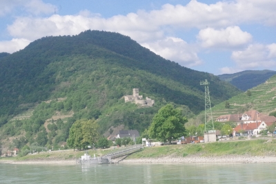
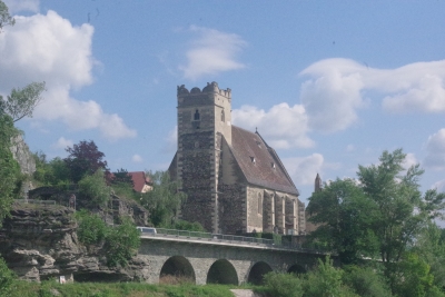
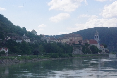
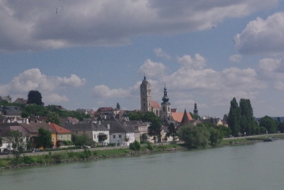
Krems was our port of call. Hence the label. The city is in Austria first documented in 995. But obviously, it is much older, with a child's grave dated 27,000 years old. This is a view of small town approaching Krems with a castle at the base of the hill.
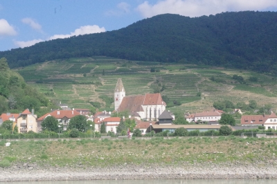
Another church, I didn't catch the name.
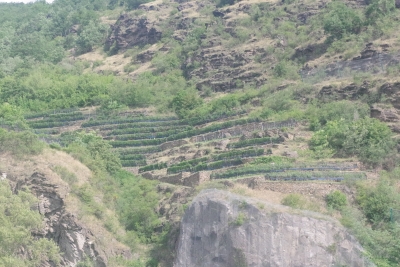
Of interest, we passed quite a few miles of vineyards on the wasy. the neat feature was that the vineyards are on the side of rather steep hillsides. No industrial farming, the only access is by foot, backbreaking work. Some of the vineyards are over a 1000 years old and apparently well kept. You can see the terracing here between rocky crags that prevent growth to the left or right. Pay attention to future pix. The vineyards sneek in quite a few times.
Ahh, another church.
And yet another.
One more for posterity.
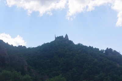
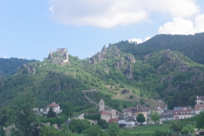
But I wanted more castles. A reward for my patience. This is Durnstein Castle with a 180 degree view of the river below. Great view to monitor trade travel and enemy advancements. Durnstein will be mentioned again at the end of this set of pictures.
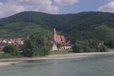
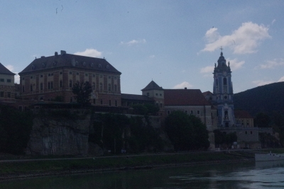
We'll get multiple views of this church as we sail down the river. this view is under the castle looking from the north-west.
Another view further downstream to grab the church and associated monastery.
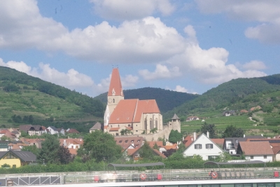
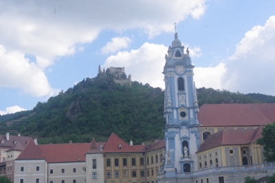
This view is from the south, recapturing the castle on the hill. My thought here dwelled on the dominance of the city by the chruch, with next level dominance by the castle. Capped of by the church probably announcing that God actually has the utlimate dominant position. I admired the blue of the steeple, something not seen on any other church during this trip.
As we sailed further south-east on the river this last shot accentuated the view from the castle.
We start to sail into Krems proper with, you guessed it, a church dead center.
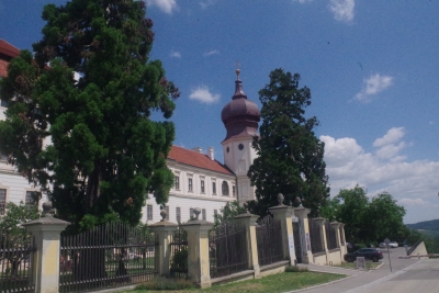
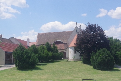
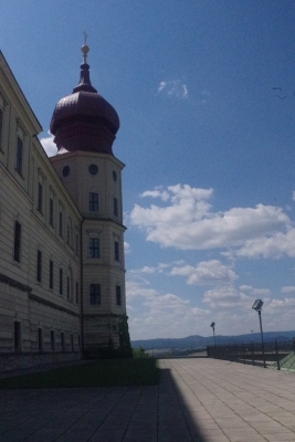
After docking, we started an excursion to Gottweig Abbey. This excursion didn't require a 2 1/2 bus ride.... Our first glimpse was of the variant of an onion top spire.
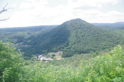
Obviously the monks claimed this spot for the view, maginificent from every angle. The little town down this slope becomes a haven for the monks in one difficult scenario. The monks were evicted in the 2nd world war with the Nazis establishing the abbey as a command center and training facility. During that period, most of the relics and valuables were stolen, by the Nazis and the local townspeople. Some of the valuables were returned as the monks visited local houses and noted that some of the furnishings were originally from the abbey. oops.
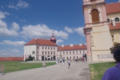
Gorgeous view of the abbey, and yes that's Lisa on the path. To the right is the cathedral. to the left is the administrative and living quarters.
As you enter the gate, immediately on the left is a couple of disconnected buildings. There were/are the barn, care centers for the abbey animals, a blacksmith and some servant quarters. The key here is the fact that this section burnt down in 1580 and 1718. Both fires started in this section centered on the blacksmith operation. A rebuild was completed after both fires, with the second build failing to complete the entire layout of the abbey.
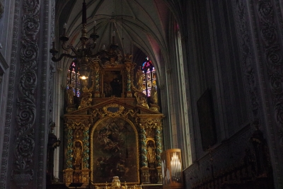
Inside the church.
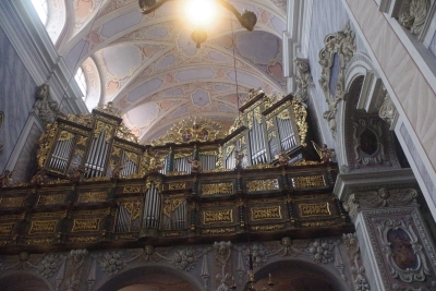
The pipes of the organ, both functional and fantistically decorated.
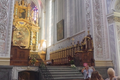
Another view of the interior, can you imagine worshipping here????
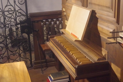
In the basment, I came across this old organ. The keyboard suggests a build date at least 500 years ago.
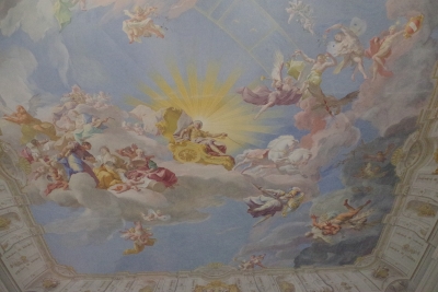
Our tour guide was enthralled with this ceiling mural. It incorporated historic, religious and mythical characters, telling multiple stories. We noted that a mirror was installed at the top of the stairs so that you could examine the ceiling without bending over backwards to see the features.
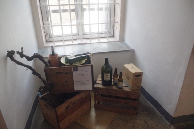
A little nook was dedicated to a few trinkets that showed the "products" of the abbey, like wine, jams and tonics.
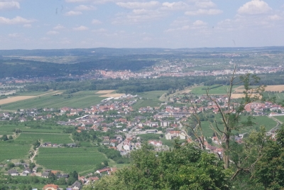
One last view from the abbey to the town below.
And, one last view of one of the towers on the corner of the abbey.
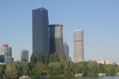
We got back to the ship and begin sailing to our next stop. I snapped this picture just to prove that not everything along the river was over 2 centuries old.
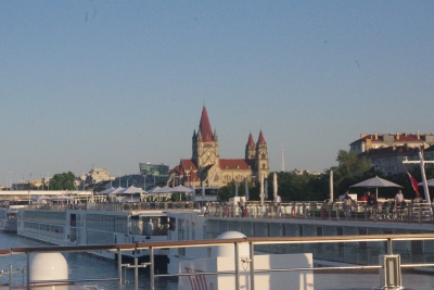
And to my surprise, another church as we approach our next major town.
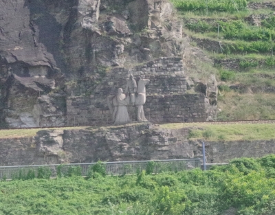
Very interesting. On the bank of the river was a statue. Zooming in we discovered that this is a memorial to Richard the Lionheart. He returned to Great Britain through central Europe from the third crusade in 1192/93 (alledgedly along this path). Why they erected this statue is a wonder. He was captured by Duke Leopold in late 1992 and a series of trials ensued that involved an emporer and the pope before Lionheart was finally released. Remeber Durnstien Castle??? Lionheart was initially held captive there. History is everywhere.
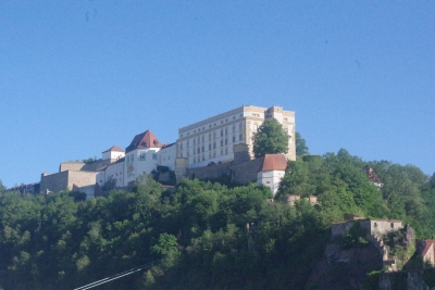
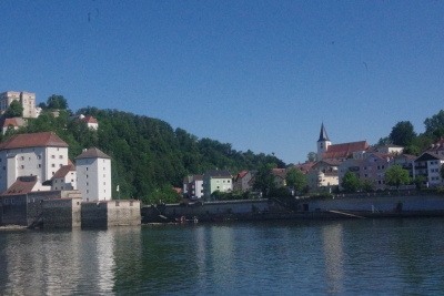
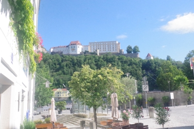
Friday, August 7. 2026 Ahhh, Passau. This was one of my highlights. Passau is big enough to justify the title of city while being small enough to be able to walk to most of the sites. This is a view of the Veste Oberhaus. We'll come back to this for a variety of views. But, It was built in 1219 as a fortress and has a great 180 degree view of the city.
Nothing historic to see here. But
Just an example of dwellings on the shore near Passau.
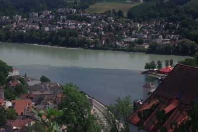
Passau is the "three river's city" where the Danube, the Inn river and the River Ilz meet. More on that later. Of course we had someone from Pittsburgh explaining the similarities. This picture is where the rive Ilz meets the Danube. It's at the base of the sharp incline to the Veste Oberhaus.
More shoreline pictures. Don't worry, I'll have more. This is looking over the Inn River from the jetty between the Inn and the Danube.
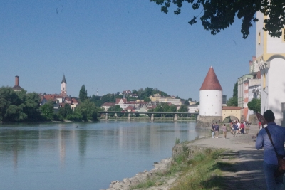
Looking up the Inn River we start to get a feel for Passau on the right hand shore. Our tourguide took us up this shoreline past the small defense post/toll station (the Schaiblingsturm) before walking into the city.
I grabbed a picture of the baroque pilgrimage church Mariahilf, not realizing that I would capture multiple views later.
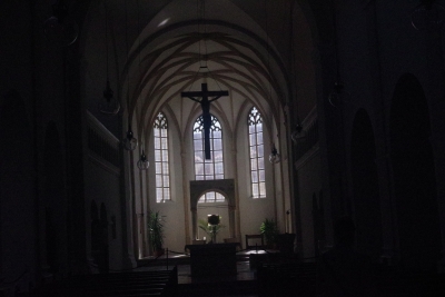
This is the inside of the Niedernburg Monastery Holy Cross Church, the first of three churches we visited. Our tour guide was enthralled with this church, even though it had a much lower relegation (tourist wise) than the other churches (and a bunch that we didn't visit).
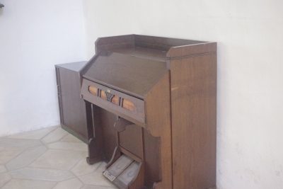
Since I'm a keybaord guy, I was atracted to this 1700ish pump organ in one of the side rooms. Yes they had a much larger organ in the main room.
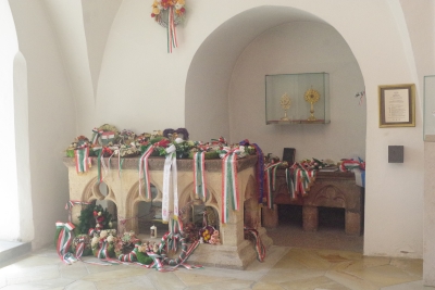
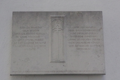
Bajor Gizella is buried here. She was the Bavarian wife of St. István, the first Hungarian king. István is Stephen, who's namesake cathedral I'll show soon enough.
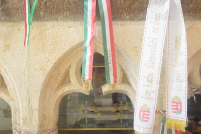
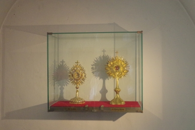
These are a couple of the relic bones of the Blessed Gisela.
And important items from St Stephen.
I'll let you translate this.
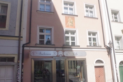
To show the importance of religion in both history and culture, this is the front of a house along an alley with a mural of the Virgin Mary on the outside wall.
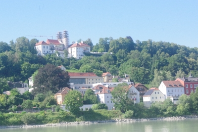
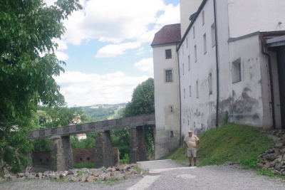
Another veiw of the Veste Oberhaus. I didn't do it justice on this shot, but all but a couple of the windows on the front of this building are paintings. They didn't want a lot of windows due to protection issues, maintenance costs and taxes.
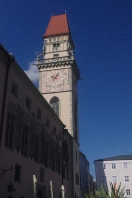
As we walked through the plaza, we got a nice view of the St. Johannis-Spital-Stift. Someday I'll get that translated.
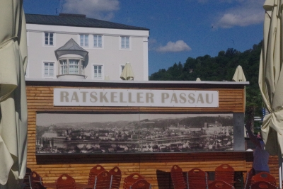
My first freshamn year of college (yes, you read that right) I attended Brandeis University. We had a small bar on the edge of the campus named the Ratskeller. Seeing this in Passau brought back incomplete memories. Interesting that a Jewish school gave their pub a traditional German name.
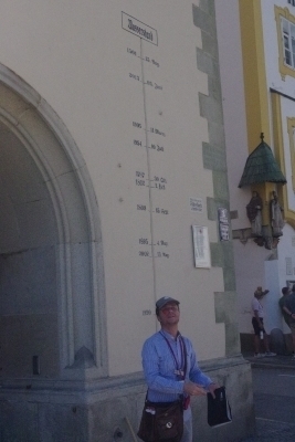
Serious moment where the major floods of Pasau are labeled on this wall. We found a small number of labeled insets in various alleys for specific floods over the ages, but this captured the significant ones. Having our guide standing in front of the wall gives you a great sense of the destruction the Danube and Inn rivers brought to this city. Side note: the fourth entry from the top was the flood of 10 July 1954, 1 month after I was born. The top entry is from 1501 and the second entry in 2013 being the most recent.
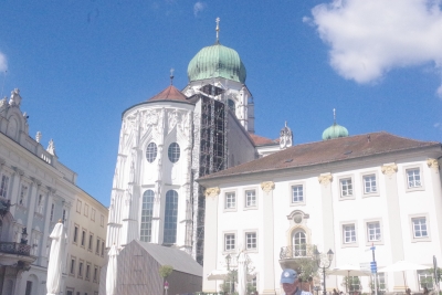
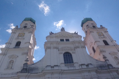
And here is our first picture of St Stephen's Cathedral. The first of 3 St Stephen's Cathedrals during our trip. Note the onion top. This cathedral has 8 bells, 3 of which are clock bells. Of more interest to me. St. Stephens houses the largest organ outside the U. S. It has 17,744 pipes and 6 consoles. Our tourguide showed us a picture of Arnold Schwarzenegger playing the organ in 2017. No, I wasn't allowed to try.
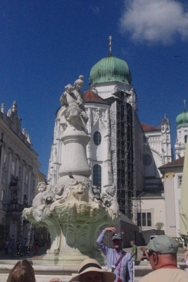
A second view of St Stephen's with Wittlesbach Fountain in the foreground. Built in 1903 it features Mary and three angels. Each angel represents one of the rivers. BTW, if you google Wittelsbach Fountain, you'll also find one in Munich and another in Linz, Austria. Wittelsbach's get around.
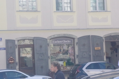
Lisa said I could go into the cuckoo clock store, but I couldn't bring my wallet. Took a picture instead.
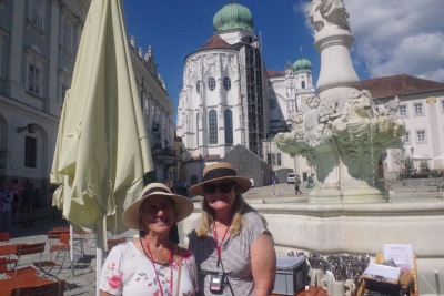
Proof of life picture in front of St Stephen's.
Another view.
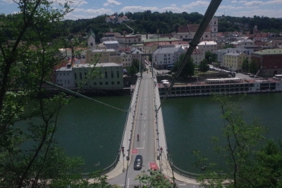
This is a view of the bridge over the Danube from about 180 feet up a rather steep hill. The hill that Veste Oberhaus sits on. There are two ways to get to Veste. One is to take a town-go-round for 5 euros. The second is to climb the face of the hill starting at the bridge. Two choices on that climb, one branch to the left and another to the right. Dave and I opted for the climb and chose the left. Apparently the left trail is about 5 times longer than the right. Sigh. Jeff and the ladies opted for the bus ride.
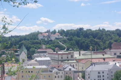
And back to the baroque pilgrimage church Mariahilf. A covered stairway with 321 steps leads up to the pilgrimage chapel. It is said that if you kneel and pray at each step, it will take you 8 hours to get to the chapel. This is the view from the trail with a photo taken on one of our multiple rest, I mean, panoramic view stops.
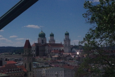
On another panoramic view stop, we get a different vantage of St Stephen's cathedral.
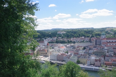
And yet another panoramic view stop....
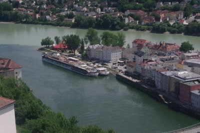
And we're at the top. This picture shows one of the peculiarities of the three rivers, called a convergence. The Inn river is actually green, sourced by the melting ice in Switzerland. The "Blue" Danube is actually dark grey. When the two rivers meet the green of Inn overwhelms the Gray of the Blue. The Ilx River is black. You can't actually note it in this view, but it's the smallest of the three and it's contribution is washed out, from a color standpoint.
Another view of the convergence. You can see our ship docked just left of center. We are the "Thor", moored against the shore. The "Tir" is moored to us. They piggy back ships at all the docking locations, sometimes four at a time. If we're on the outside we walk through the other ship(s) to get to the shore.
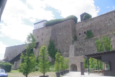
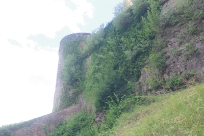
This is the backside of Veste. That wall is about 60 feet tall.
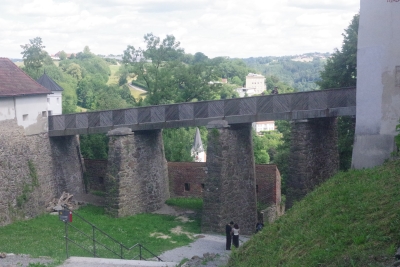
On the side of Veste is an aqueduct between the main buiding and a secondary building.
I wanted a better model, but he'll do. This is the start of the "short' walk down to the bridge.
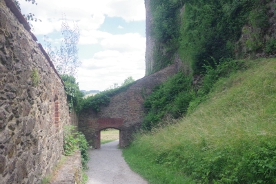
Defensive structure to slow down the riff-raff attacking the fortress.
Alas, I was expecting to see a frenchman throwing insults and cows down on us at this point. Not to be.
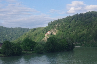
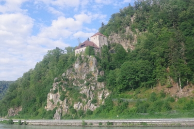
And we're back on the ship. This is what I was originally expecting. With the loss of a day from Regensburg and another getting to Budapest, there wasn't as much scenery as anticipated. This is one of many castles noted along the Danube.
A closer view of the castle.
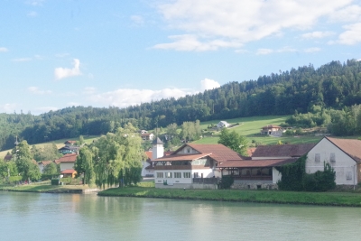
A typical view of riverside towns along the river. It appeared that the dominant industry for these towns was farming.
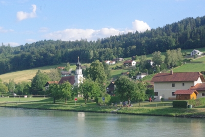
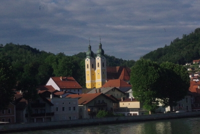
Another town. Note the onion top. There was always at least one church prominant for each town. Some towns had multiple churches. Understand that the average size of a town was probably less than 1000 people.
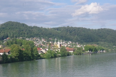
One of the large towns, again with a double steepled church in the center.
Closer look at the double-steepled church. Oh yeah, note the onion top.
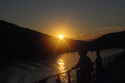
Might have been my only sunset picture on the trip.
Lisa enjoyed as many sunrises and sinsets as possible. You can reach out to her for more of those pictures.
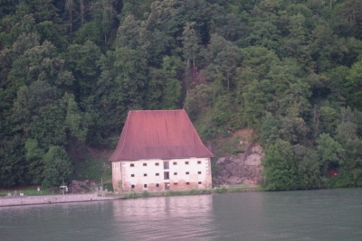
One last picture for the day. This was sitting on the water's edge. With a nice beach to the side. Note the discoloration on the first floor wall that marks aveage water height for that location. good night. Friday, August 7. 2026
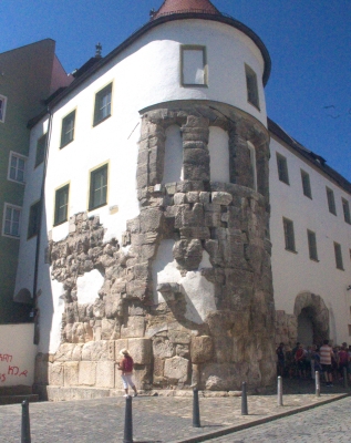
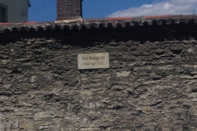
This was advertised as a "Romantic Trip on the Danube". Well, romance had to wait a while. Step one, as we are leaving for the ariport (BWI) we are notified that our flight headed to England had been canceled. Many phone calls led us to a a very helpful Viking Travel Rep named Shea. She got us on a flight a non-stop flight to Munich out fo Dulles (ntoice the differences?). Wwe then high-tailed it to Dulles only to find that our flight had been delayed by 2 hours. Hey, we'll get there, right? Well, we did. Ending with a 2 1/2 hour bus ride from the ariport to our ship. Umm, that was docked in Passau, not Regensburg, our intended first port of the trip. Apparently the river was so low that our ship couldn't get from Passau to Regensburg. Again, Viking didn't want us to miss the Regensburg expereince so we were bussed to Regensburg for the first excursion. The ride was through the countryside. Something we wouldn't have experienced on the ship. The picture to the left is our first glimpse of history. Lisa (first proof of life picture) is standing in front of a refurbished roman wall from 500 AD. They waste nothing in Bavaria.
The next view was the oldest bridge in Germa
Being a Bible guy, I was excited to see this mural of David and Goliath painted on a building during our walk. It is a relatviely modern piece of art, with no historical significance. But under further review....
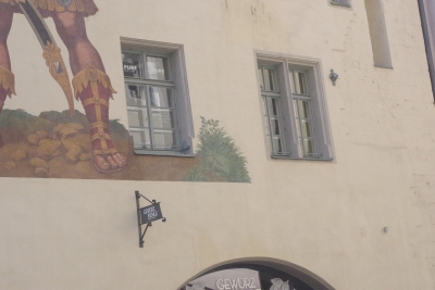
we noticed a spectator on the scene. A small frog, perched in a bush witnessing the event. No biblical reference, but a great case for artistic license.
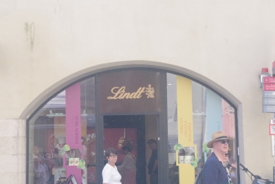
Chocolate anyone?
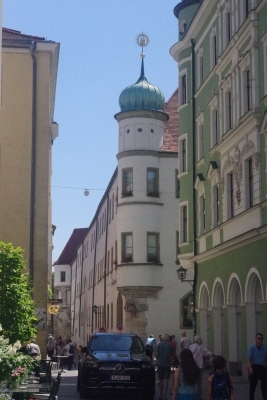
Fair warning, the theme of this trip was alleys and churches. Case in point. This view down this wide alley (it was one car wide) captured an onion top church. I will try not to post all the onion top church pictures we took. Onion top churches were predominantly Russian Orthodox. The design was a taken from buildings in Syria and can be seen on the landscape acorss Bavaria and Austria. Why the locals used this design, no-one knows.
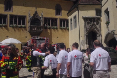
To keep with the church theme, we went down another alley to see a church built in the 1500s. We came across the ending procession of a wedding for some locals. The groom was dressed in his Lederhosen and the bride wore a Drindl. We caught a number of stories during the trip about Drindls and the fact that the color choice and location of the bow established her marriage status and desire for courting. This particular groom was a member of the local fire company, hence the firefighters, EMTs, red cross members, a fire truck and ambulance.
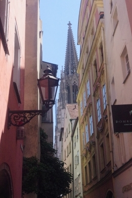
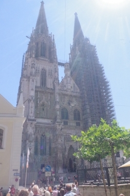
Did mention the alleys and churches? This alley, much narrower, gave us our first view of the central church of Regensburg.
It is called Regensburg Cathedral, but is named St. Peter's Cathedral. Construction started in 1273 after the destruction of the Niedermunster church, with various completion dates until it's "final" completion in 1530. We started our talks on architecture here with stories of various architectural styles based on the dates of repairs and renovations. This was another sub-theme of the trip with our tourguides, enthralled with the architecture contrasts within many buildings. We saw the dstinctions here with changes in styles and material giving the face a jigsaw effect.
I'm throwing dates around like candy. In America, we consider cars more than 15 years old as antiques. A house built in 1954 is old. Buildings from the 1700s as historical juggernauts. In Europe, things aren't considered old until they've survived 300 years. This building was built in 1320 and is still used as a store today. In Bel Air. we're tearing down and replacing a mall because it's ancient at 50 years of age. Moving on...
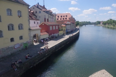
Oh yeah, the bridge. At the end of the tour, we walked acorss the Stone Bridge. Trekking on the same stones used by the warriors from the Crusades. Awesome. This view from the bridge was of the buildings gracing the shores of the original Danube. The new Danube was dredged because the river traffic couldnt fit under this bridge.
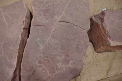
Friday, June 14. 2024 Today was fun. We had nothing on our list for today, so it became a Google day. We found two things to do. First a visit to Pipestone. Remember petroglyphs? They're back. A guy in the 1800's "collected" petroglyphs from the area. Which translated to, "he carved out the rocks that the petroglyphs were on". The NPS collected the collectables and put them on display.
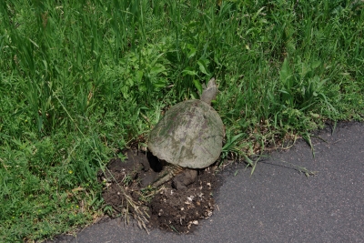
We were graced by the presence of a snapping turtle on our walk. It looked like she was trying to create a spot for her eggs.
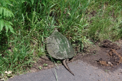
But wait, there was a SECOND one twenty yards up the walkway.
The pipestone ares was (and still is) a sacred quarry for materials to make pipes (and ornaments). It's been used since at least the 1300s and is used today by members of qualified tribes. We watched 3 locals working with the stone making pipes.
Winniwessa Falls is on the sight. Not huge, but pretty.
And Lake Hiawatha! Not big at all, but the guy that "collected" the petroglyphs was enthralled by the Hiawatha story.
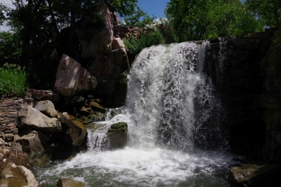
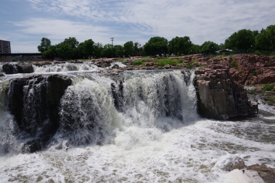
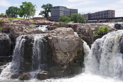
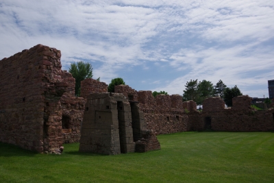
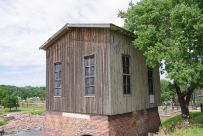
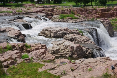
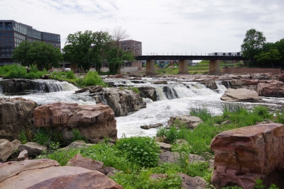
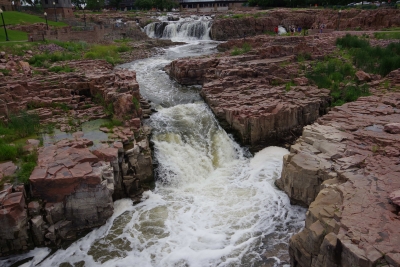
Lisa had her bird calling app on for the entire walk and heard an oriole, pheasant, indigo bunting, night hawk, yellow throat, flycatcher, yellow arbler, dickcissel and others. Quite the day. Second a visit to the Falls on the Big Sioux River. the falls were't tall but very dramatic. In the 1800s a mill was built next to the falls. it shunted water to a power generator. In 1956 in burned down. The city has done an excellent job creating a park around the falls and protecting the remnants of the mill. If I was a local, I could spend hours sitting in the park enjoying the sounds of the falls.
The mill.
The pwoer generator.
A shallow section of the falls.
Trying to caputre the total drop of the falls. My first picture was of the top section of this picture.
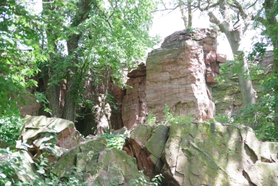
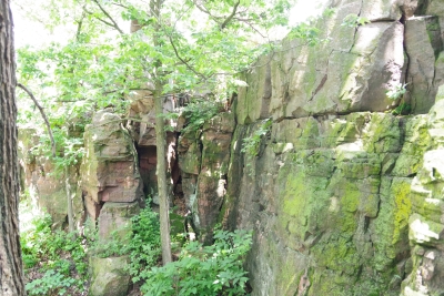
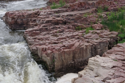
Remember descriptions of the Giants Causeway in Scotland, Devils Tower and Southern California??? the rock is pushed up due to volcanic actions, cracked into hexagonal shaped columns, and then broke or eroded into stepping stones. Here is another example of those rock formations. Once you've seen them, they're easy to pick out in other areas.
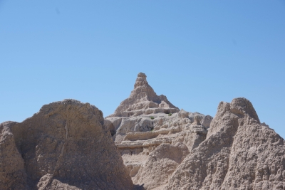
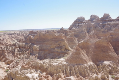
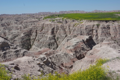
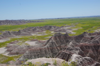
Thursday, June 13. 2024 Because we haven't done enough driving, we opted to drive through the Badlands today. While yesterday was a challenge for the numebr of shots of a stationary object, today was a challenge to take enough shots to capture the beauty without using up the battery. this place was spectacular, awesome and gorgeous. From a photographer standpoint, it was a challenge in capturing the panormaic aspect, the depth of colors, the variations in the rocks, and a ton of other stuff.
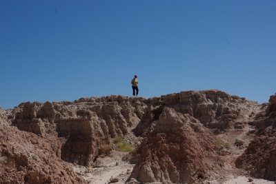
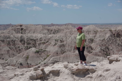
Well timeout. we got a couple of good shots and then looked at the map of the loop availble to us. And noted that if we took a 5 minute detour we could visit the Minuteman Missile National monument. We ran up there for a quick tour. They have done an excellent job capturing the intensity of the nuclear conflict. we now compare Los Alamos, the Atomic City, the Experimental Breeder reactor and the Silos on our trip. Our badges show we had no exposure. Back to the Badlands. This is Lisa (surprise) on top of a ridge on one of our walks. BTW, if you ever do this, bring water.
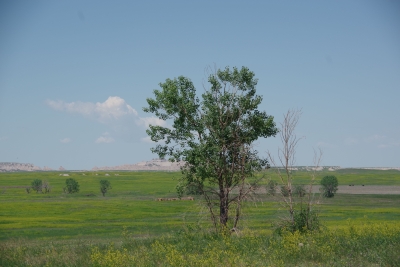
So Jim, here's the one tree that got in the way of the "perfect" shot.
Sigh, here she is again. While it looks like she's close to the edge, we discovered who has the wrose fear of heights.
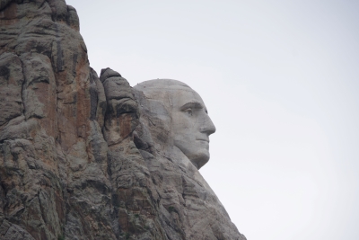
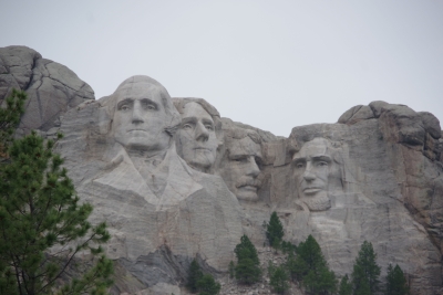
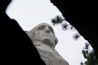
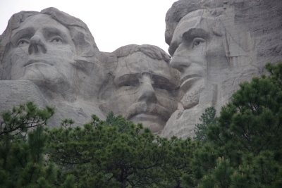
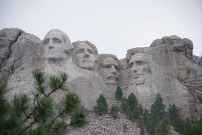
Thursday, June 13. 2024 First, I'd like to apologize for not publishing Day 55. Too many buttons at this point of the trip. Today we visited Mount Rushmore. The first question would be how many pictures can you get of a single permanent structure? The answer - 31. we were told by a number of peeps that we needed to find the profile view, that most people miss it. Well, it happens that the profile view was on the way to our campground after passing the monument. So not only did we not miss it, we saw it 6 times... The view gives us a nice shot of Washington. Fun fact. this wasn't in the plan for the monument. Originally Jefferson was to be to the left of Washignton. But the rock was unstable and not suitable for sculpting, so they blew his face off (haha, i wanted to say that). removing that stone gave us a perfect view of Washington.
Here is the money shot. Grabbed this walking up the entryway.
There is a presedential trail that gives you a couple of up close views at a variety of angles. One stop on the trail was designated for Junior Rangers, so of course Lisa and I had to go there. The view was from inside a split rock.
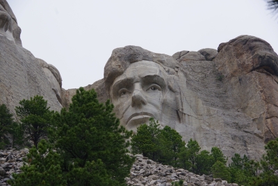
Since Washington got a solo appearance, i had to grab a shot of Lincoln.
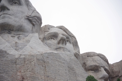
Jerfferson whined for a solo.... This made me remember that Crazy Horse has nostrils 60 feet long.
Getting Teddy was the hardest. It had to be at the perfect angle and high enough to get over the trees. It was amazing to see the resemblance between Teddy Rosevelt and Robin Williams.
And then the walk away shot. For those in the know, this monument was never completed. Due to the cost of WWII, the government cut funding. the completed monument was designed to go down to waist level.
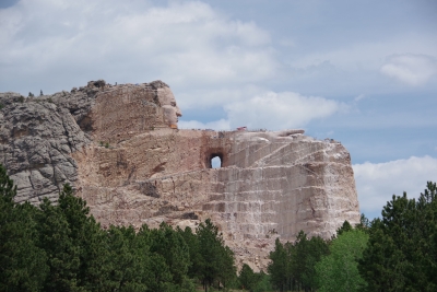
Sunday, June 9. 2024 Today we visited the Crazy Horse memorial. While I had a general understanding about the memorial, there were a number of details I was not aware of. I can't type it all, so I would suggest that you go to crazyhorsememorial.org for more history and back stories. First, this is what you see when entering the park.
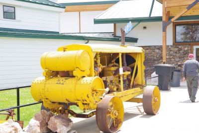
Second, the memorial is NOT the park. There have been grand plans for the total facility. Museums, school systems, medical facilities.... They have a school that has improved steadily over the years, and musemums that are very impressive. A section that encompasses the origal sculptures home, a section all about sculpting at this magnitude and another coverint the Indian legacy. Third, the first blast was in 1948. The memorial has Crazy Horse's face and part of his pointing hand. They need to complete his arm and sculpt his horse. No-one knows when this will be completed, but there is no estimate earlier than 2070. Fourth, twice the U. S. government has twice offered $10M grants but both times it was rejected. They didn't trust the government, with one point proven when the government pulled funding for Rushmore. Call me an engineer, but this is the original compresser used to power the sculpting tools.
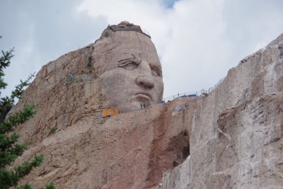
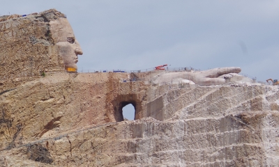
Crazy Horse and Thunderhead mountain were both selected by the Lakota people. Korczak Ziolkowski was the selected sculptor. He made this project his lifetime quest. He passed before the face was finished. The hole you see is the start of the gap bewteen Crazy Horse's arm and his horse.
While we can't get that close, we were close enough to be awed by the ongoing work at this memorial.
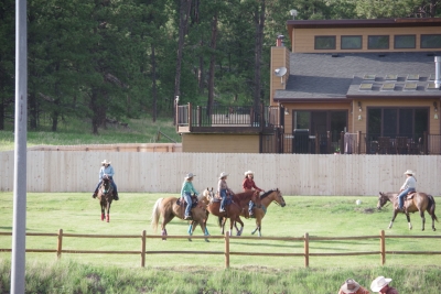
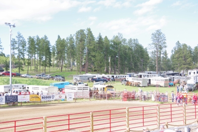
Saturday, June 8. 2024 Today was (another) travel day. We got about 2/3 through the trip and discovered that the road was closed. Added half an hour to the trip but made it to the campground unscathed. Which reminded us that our trip to date has been spectacular in relation to traffic, routing, and road mishaps. Thank God. We saw a car get towed out this campground due to a breakdown. That family is stuck, but, thankfully we are in a KOA resort. They seem to have everything from food, horse trail rding, multiple pools, multiple playgrounds. After getting set up, we noticed that they were warming up.....
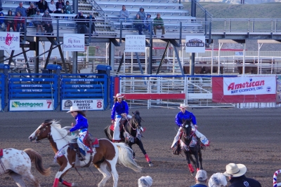
... for a RODEO. two rodeas in a week. Lisa was exstactic.
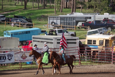
Cowboys (and girls) are as patriotic as ever. Young girl carrying the flag for the opening ceremonies.
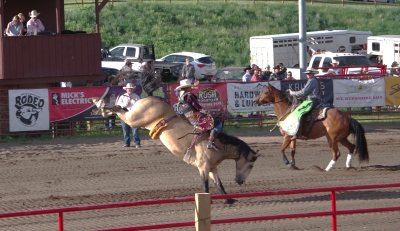
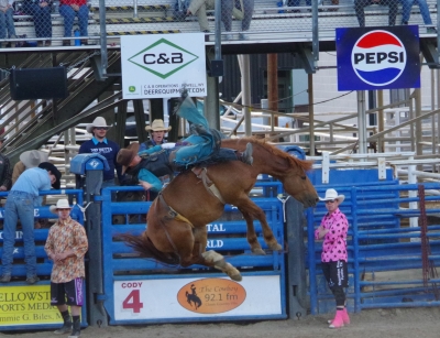
And let the broncing begin.
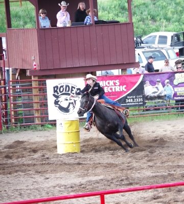
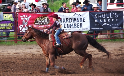
They had barrel racing. We got to see the ladies...
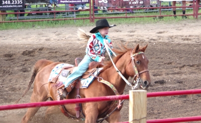
...and the kids. I can see Noelle doing this.
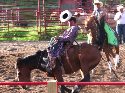
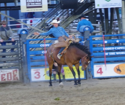
And then back to the broncing. This was my favorite pic.
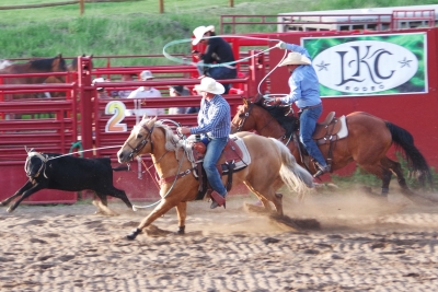
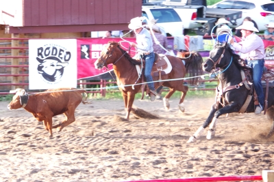
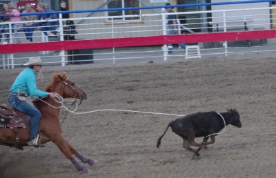
Foillowed by team roping. The lead guy ropes the horns, then the second guy ropes the rear feet.
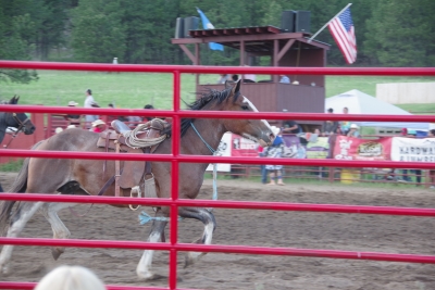
And then, goodnight horse.
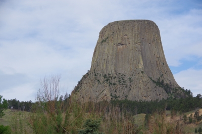
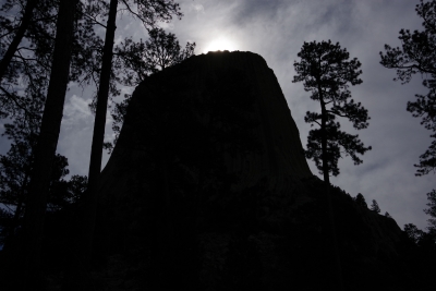
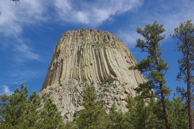
Friday, June 7. 2024 Ahhh, Devil's Tower. The answer to the Day 52 question: How many pictures can you take of the same object. Answer: 67 Next question: do you want to see them all? Ahhh, I hear a no. Good, because I don't want to configure them all for uploading to the internet. Devils Tower as we start our hike around the base.
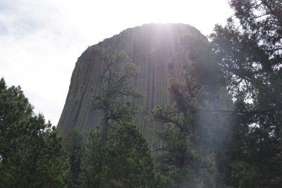
Devil's Tower as the sun creeps over the top.
Same shot, with a different exposure.
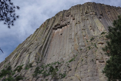
To show you something different, this is called cracked window. A section of the rock broke off in almost a perfect rectangle.
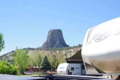
Remember I showed you the shot of the Tower from the camper? Here's the camper from the Tower.
The opposing side of the Tower.
If you stay very still you can hear them. Charlie: Hey Bob can you see them? Bob: No, but I saw them just a minute ago. Charlie: Where could they have gone? Bob: Exactly, and they were driving that big blue truck!?!?!? Charlie: We're so going to get fired as watch dogs. Bob: Sigh.
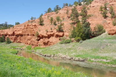
Next to our campground, the red rock.
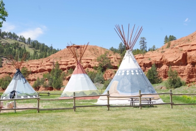
Oh and some tipi's.
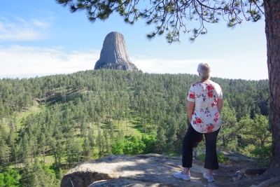
in the afternoon, we took a second hike to see a different vantage point slightly further away. Lisa was awestruck (and tired).
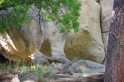
Along the hike we saw this interesting carving in the (assumedly sandstone) proving that there was some significant water in this ravine some 10 to 1000 thousand years ago.
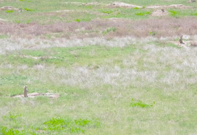
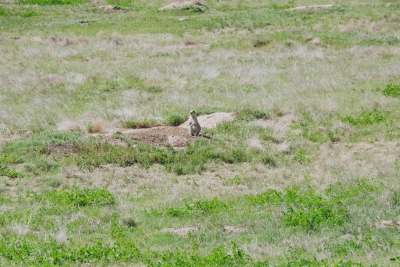
Ahh. goodnight Prairie Dogs. There were hundreds of them in the field as we left. This guy had no problem picking us out of the crowd. Poor Bob and Charlie.
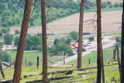
Friday, June 7. 2024 Travel day to Devils Tower Not much to say, but we set a new standard for KOAs closest to a national park. We are two sites from the entracne of the KOA. The KOA entrance is 100 yards from the park entrance. Our view from the RV...
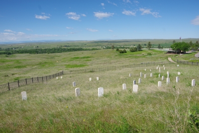
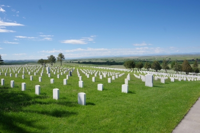
The only question for tomorrow. How many pictures can someone take of the same object? Thursday, June 6. 2024 Little Big Horn Battlefield was on my list of places to go. A National Monument and a designated battlefield. Up front, I'm not a big fan of Custer. But I have to appreciate what he did as a leader in military conflicts. I remember studying the last stand in the late 60's. there was an emphasis at the time of the masacre of the Custer infantry. Later I have studied and come to realize that this wasn't an attack by the Indians, but a defense. Sometime I'll get into the events leading up to this moment. Here is a generic shot that shows the white stones that mark all the know locations that a U. S. soldier died. It's amazing as you cover the battlefield that you can follow the battle by studying the white markers.
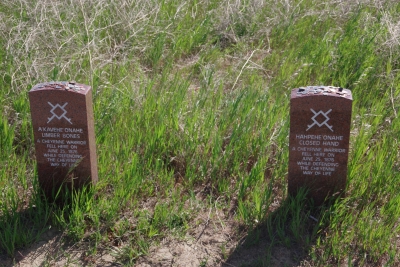
I memorial has been established by the Native Americans that commerate the heroics of the Indains at that time and the peace that was finally established in the area. In contrast to the white markers there are brown markers that designate the spot where known Indians fell. There are fewer markers for the Indians. One, there wer about 5 infantry deaths for every 1 Indian death. Two, the Indian participants are not all identified. Three, the U.S. forces that arrived after the battle only looked for infantry bodies. Fourth, The Indians came back after the battle and removed as many bodies as possible. There is a graveyard on-site. It is rather large. It includes the remians of some of those involved in this battle, but there is also remains for soldiers from the civil war, both world wars, the korean conflict and the vietnam conflict.
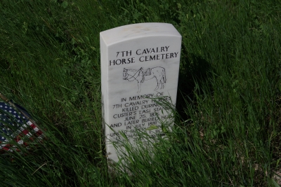
There is a cemetery dedicated to the horses recovered from the battle.
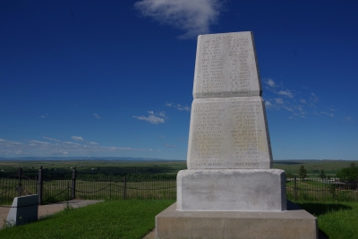
And a monumnet to all those that fell during the battle.
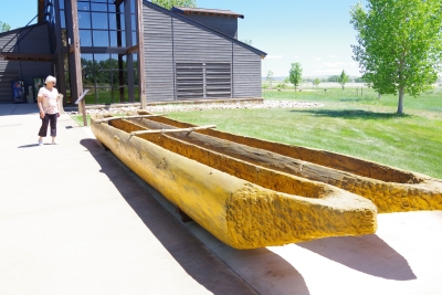
OUr added attraction was a visit to Pompey's Pillar. The Pillar is described as the only geographical landmark still visible that was documented by Lews and Clark. We started at the visitors center )makes sense) and admired the replica dugouts similar to those made during the L&C trek.
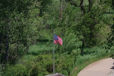
The flag on the premises is a replica of the flag carried by L&C on the trek. Note that there are 15 stars and 15 stripes. The next falg returned to the orignal 13 stripes.
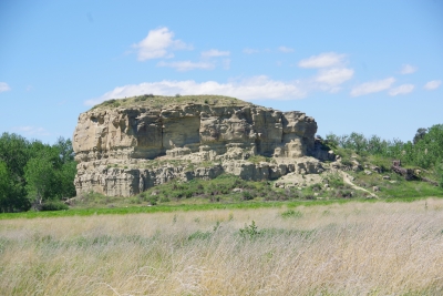
Oh yeah, Pompey's Pillar.
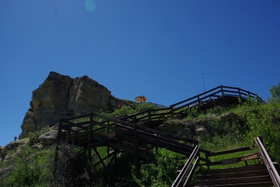
And the steps to get to the top. 200 feet, 10 stories, 130 steps. And Lisa (the tropper) climbed to the top!
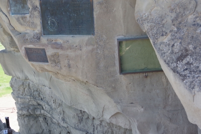
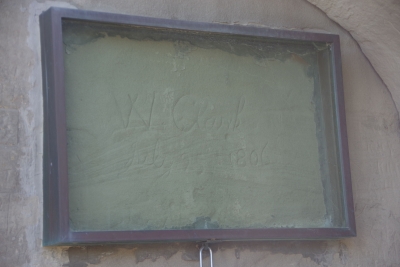
Before we got to the top the was a spot that had a couple of memorial plaques and a Lewis signature. Many persons had seen the petroglyphs scratched into the sandstone and added there names to the collection. Lewis opted to added his as well. in the early 20's a couple of local organizations decided to mount plaques in the area.
A close up of the protective glass installed to pretoed the Lewis signature.
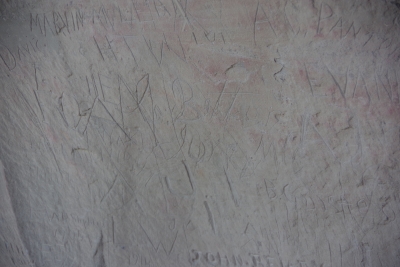
And hidden in the collection of names is some of the few petroglyphs remianing on the wall.
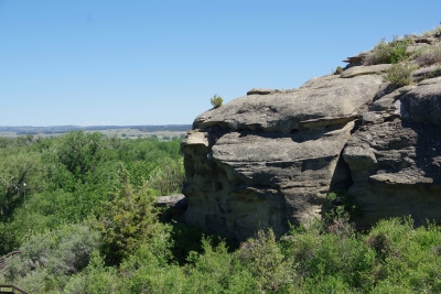
Another view of the Pillar.
A view from the top. the plains shown in this view was a location of Custer's army prior to the last stand.
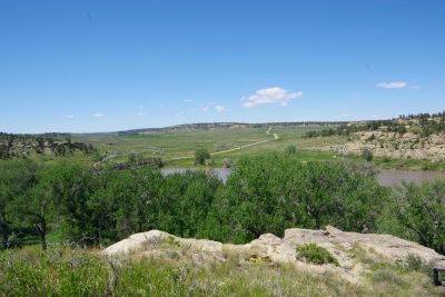
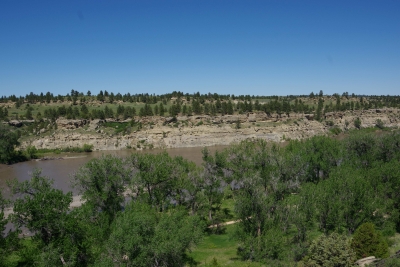
A view from the top of the Yellowstone River. The local ranger described the river as "angry" due to the melting of an abnormal high snow
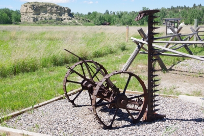
Finally, for my farmer friends, they have this crop cutter on the site, built circa 1920. Should I make an offer???
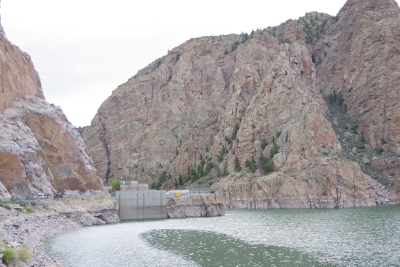
Thursday, June 6. 2024 We started the day touring the local dam (yes this was my choice, not Lisa's). The Buffalo Bill dam created irrigation and flood control for the valley. Lisa ended up liking the tour.
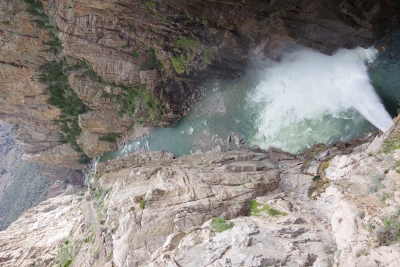
The outlet of water flowing through a channel in the dam was from the hydro plant itself at the base of the dam. Pretty powerful.
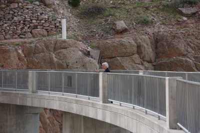
Yes Lisa is afraid of heights, but she got out there to take pictures.
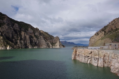
The beginning of the lake behind the dam.
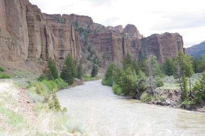
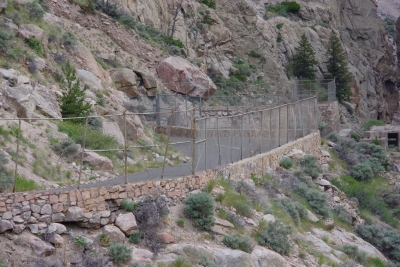
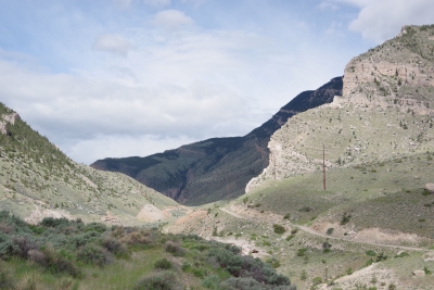
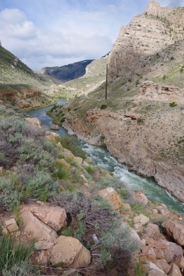
The dam is located at the end of the Shoshone canyon. Our first introduction is the road behind the dam that was the first raod created in the pass. It's since been replaced by a "comfortable" two lane road that winds through the canyon and goes through a couple of tunnels. If you look closely at this picture, you will note that it's barely one lane. There is no way we could pull the RV through these bends this close to the edge. Well, I could, but Lisa would have a heart attack.
The canyon.
And the Shoshone River.
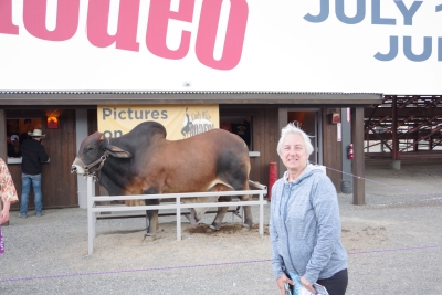
We played tourist during the day, leisurely walks through town. And a visit to the Buffalo Bill Museum. There are actually 5 museums in the facility, each one credible as a stand alone museum. I liked the gun and rifle museum, phenomenal collection. The Cody museum was good, providing a lot of insight into his background. And I was very impressed with the Plains Indian Museum. Well done with excellent historical and contemporary sections. We had dinner at Irma's. Irma's is a hotel actualy built by Cody (Buffalo Bill) himself. After dinner we stayed for a shoot out. Some locals put on a display of characters from the Wild West. It was their final dress rehearsal. Let's just say that it's going to be a long season for the tourists. The best line of the night was the emcee stating that he was proud of Wyoming, the first state to allow women to vote, the first state to elect a woman as governor, and the first state to hang a woman. They picked a young kid out of the audience and put him in the jail. Charge - real cowboys don't go by the name of Braxton. Our last stop was a show at the local rodeo, "the best in the world". It was amateur night so we didn't get the best of the best, but it was very entertaining. Upon entry, we were offered a chance to sit on the broncing bull. We passed, but I got Lisa close enough for a pic.
The star attraction was the host for the night. He was the ultimate professional, with everthing memorized (including in-show ads for about 40 sponsors, he knew them all and sold them with vigor). He had the main clown as a side kick that wandered in the arena, outside the fence, and amongst the crowd. The two of them played off each other very well. He also took up a dare and used his horse to rope a calf. Impressive. He also led us in prayer (multiple times).
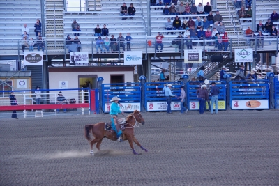
The show started with a choreographed ride with 16 ladies on horses. Very well done. As a professional rider myself I only noticed one mistake.
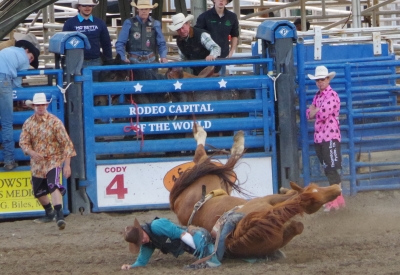
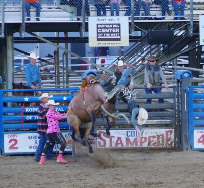
The horse broncing had it's ups and downs (definitely more downs). None of the four contestants rode for the required 8 seconds in the first round. One made it through round two, for the win Two of the four horses actually fell.
Horse one that fell landed on the cowboy, and then immediately got back up, with the cowboy on his back, and started broncing again. It didn't count as a ride, but lisa and I gave the horse a 50 out of 50 for his performance.
There was calf roping. I caught a pic of the eventual winner as the lasso made connection.
I did say there were more downs than ups, right? This guy barely made it out of the chute when he went head first over the front of the horse.
Here's a picture of the eventual winner.
Sunday, June 2. 2024 Today was a travel day. In our original agenda this day was going to be awful. But with the thawing and plowing, the passage from the west to east entrances of Yellowstone were open, and we breezed through the park. Most of the trip on the west side was snow covered.
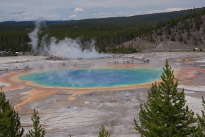
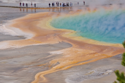
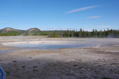
Sunday, June 2. 2024 Today was a down day. We took the liberty to get some postings done. Lisa did some laundry. Late afternoon we went back in the park to see if we could get some better shots of Prismatic Pool. And we did!
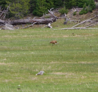
And idnetified some new wildlife for our collection. A sandhill crane.
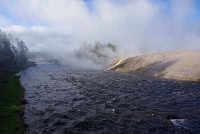
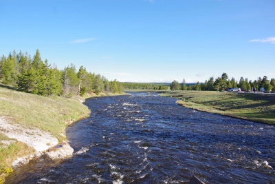
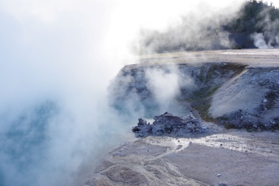
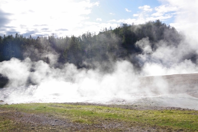
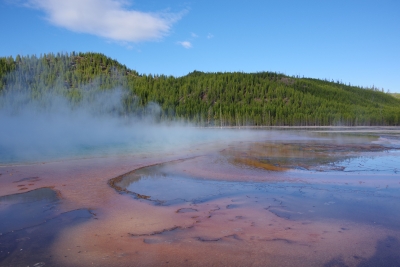
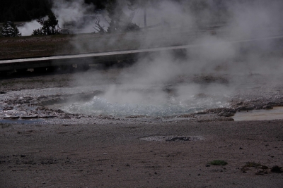
Saturday, June 1. 2024 Today we attacked the Yellowstone Lower Loop. We started early in the morning. This was good becasue we wwere ahead of the crowds. This was bad because the morning temps (38 when we started) created a lot of surface steam that clouded a lot of the pictures. Firehole River runs through the Midway Geyser Basin. The runoff from the Basin entering the river created an enjoyable early view.
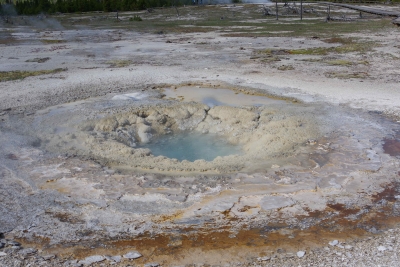
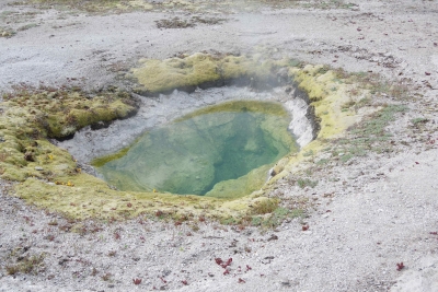
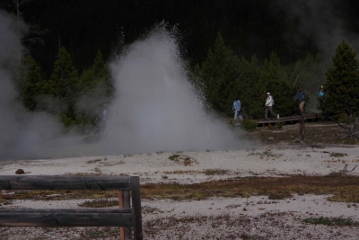
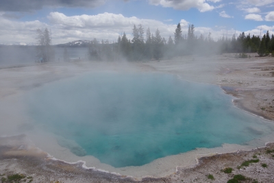
In the basin itself, a short walk provided a number of small geysers, pools and springs.
Even though there were hundreds of "dont walk here" signs, it apepars that the antelope either can't read or chose to ignore the warning.
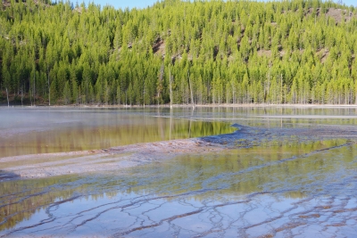
Buscuit basin was actually more expansive and gave us some better picutres. Biscuit basin is the home of the Prismatic Pool. at ground level and with the steam we didn't get much of a shot.
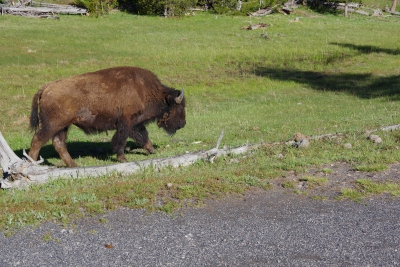
We discovered that the park built a trail to an overlook to get a more photogenic shot of the Prismatic. On the way, this bison walked alongside me. I know, I'm supposed to keep a healthy distance form the bison, but he walked at my pace and kept looking at me, so....
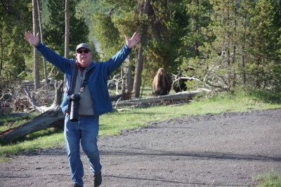
Jim ran away from the bison on the other side. Not saying that he's faster than a bison.....
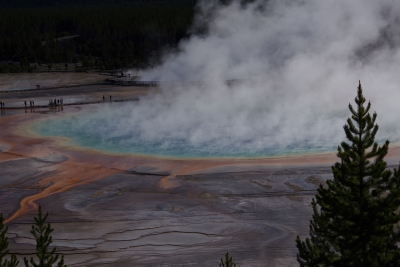
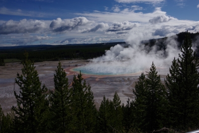
At the top the view was good. The steam downgraded the awesomeness but it was worth the hike.
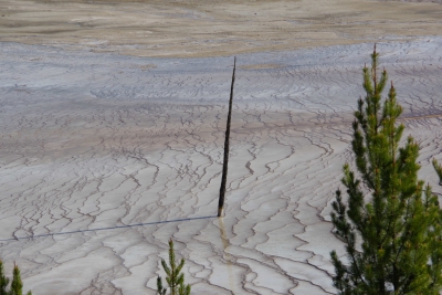
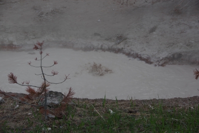
The sediment buildup and chemical content killed a numebr of trees as it crept along the surface. This lonely tree marks its advance.
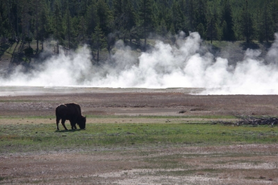
Jim's bison went further out to get a bite to eat.
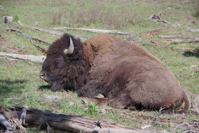
My bson was exhasted from keeping pace with me and laid down for a nap.
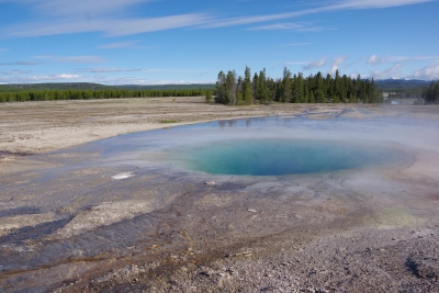
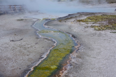
More Biscuit pictures.
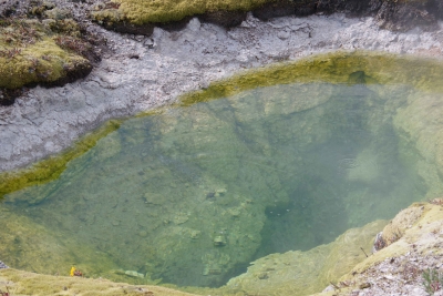
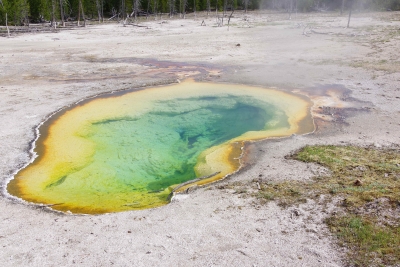
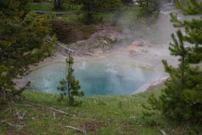
I called this one the Avocado Pool.
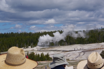
We got to Old Faithdful just as the show was shutting down. Grabbed a couple quick photos.
So we sat back and waited for the next show (hour and a half or so). Wondered if this would be a suitable retirement home (if I put a pool out back).
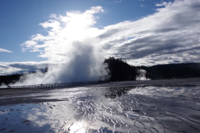
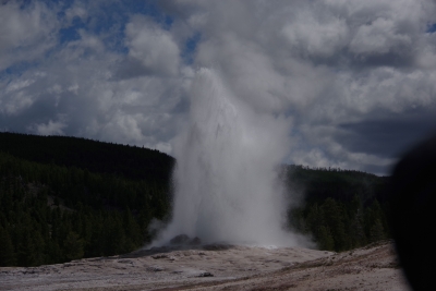
Old Faithful is reliable and relatively regular in its eruptions. Beside Old Faithful is the Beehive Geyser. It erupts twice a day. We were lucky enough to have it erupt just as Old Faithful started up again. I got a couple of pics that weren't that great only because I was in the middle of the OF crowd and quite a ways from Beehive.
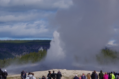
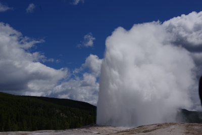
We got the main show. And quite a show it was.
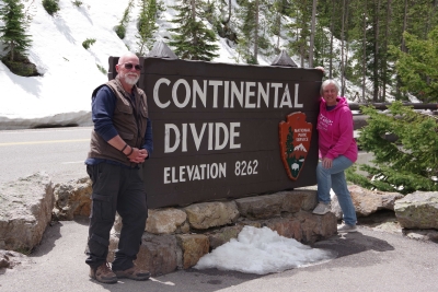
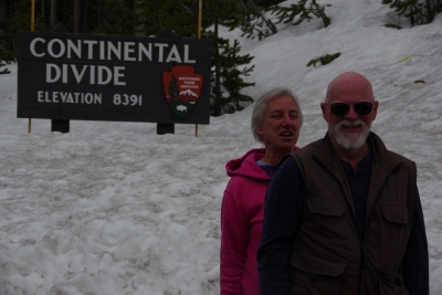
During the trip we crossed the Continental Divide.
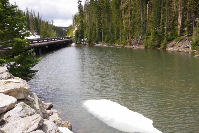
Visited Isa Lake (it was small, this was the entire thing).
And then crossed the Continental Divide again.
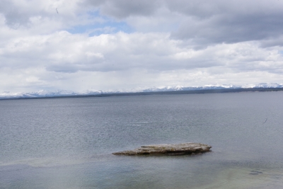
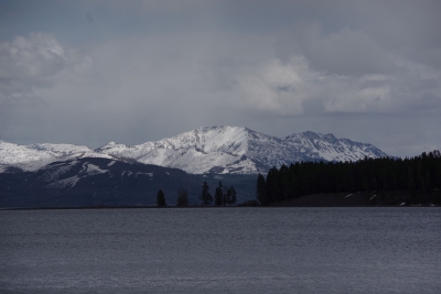
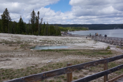
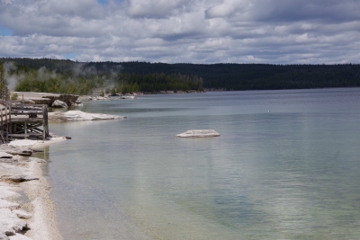
Oh, and then we went to ANOTHER BASIN. This one was West Thumb Geyser basin. This was unique because it borders Yellowstone Lake.
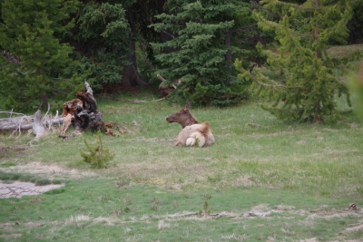
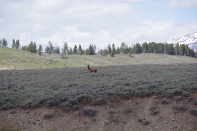
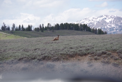
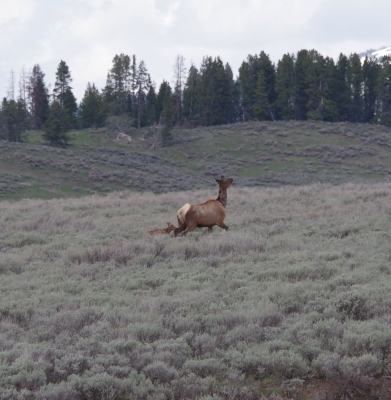
Our treat for this walk was a lounging elk.
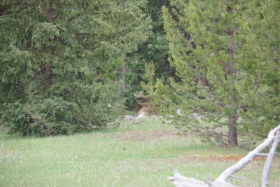
If you look REAL close you can see the male hiding in the trees.
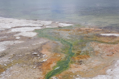
Wildlife break over, back to lake, geyser, spring and holes.
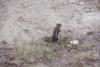
Oops and one squirrel trying to survive in the basin.
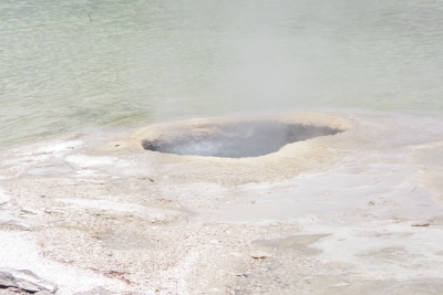
Okay, so this hole is just off the beach (if you want to call it that). The story is that the native Americans would go out on the lake, catch fish, bring them back and cook them in the hole. Pretty efficient use of the environment I'd say.
Another wildlife break. We saw this antelope being extremely wary of the traffic. Lisa grabbed a couple of shots, noticing (in the second frame) that there was a baby in tow. I enlarged the pic for you peeps with poor eyes.
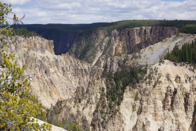
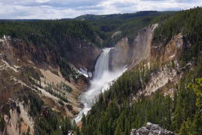
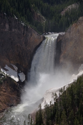
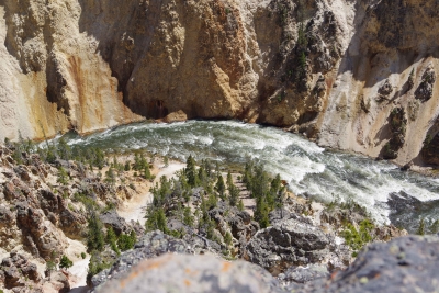
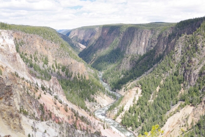
A couple miles north and we hit the Grand Canyon of the North. Have I overused "spectacular"?
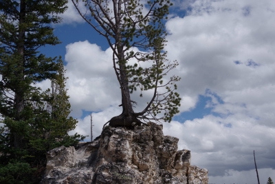
I captured a tree living on the top of a rock on the top of the cliff.
And, Good Night Squirrel. He was sitting on rock within a foot of the edge of my last walkway.
|
Powered by 
Archives Blog Administration Categories |
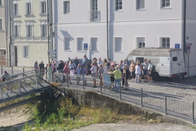 this is a small excursion group waiting for their bus. It shows that we weren't the only ones on the ship. But our group of 24 (out of 175) became well know by the rest of the tourists. We met some interesting people, and became travel buddies with quite a few.
 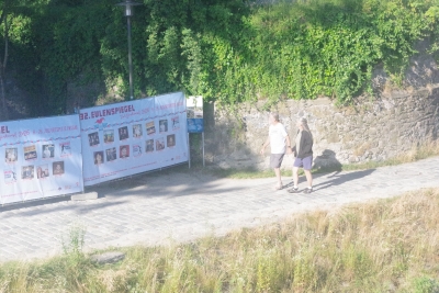 Again, nothing historic, but met the guy in the white t-shirt on the first morning. I was drinking coffee and relaxing while he was walking laps around the top deck. He had on a shirt that quoted Micah 6:8, so I called him Micah for the trip (even though his name was John). He and his wife recently retired from teaching. Another shirt he wore had Latitude 71.10N (northern Norway) and 66.5 S (the Antartic Circle). These were the end points of his last cruise from the top to the bottom of the Atlantic. Cool.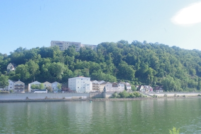
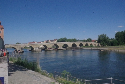 ny, dating to around 1340. It was originally a wooden bridge built by the Romans in 300. It was stated that the Stone bridge was the only crossing point until 1900. I'll let you in on some more on this bridge later when we actually walk across.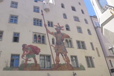
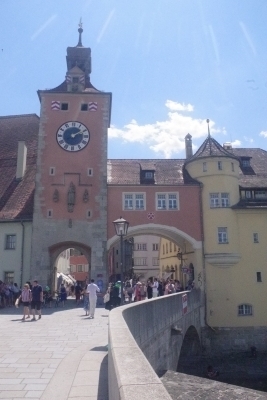 This view is of the Southern gate and Tower. The last of the three towers built in the 1300s.. Remember the store from 1320? Just to the left of this tower. The chapel near here was built at the same time as the bridge. The two construction leaders had made a bet on who could complete their project first. The story goes that it looked like the chapel would be finished first, so the bridge leader made a pact with the devil to delay the chapel construction. The devil wanted a sacrifice of the first 3 souls or the first eight feet that crossed the bridge. The leader finished the job (first) and herded a hen, rooster and dog across the bridge. The devil was upset and tried to destroy the bridge.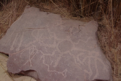
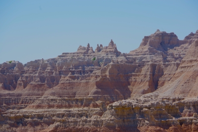
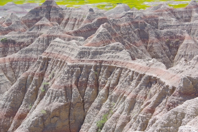
 This is close to the end of our loop drive. brilliant colors!!!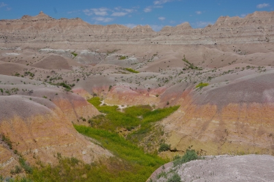
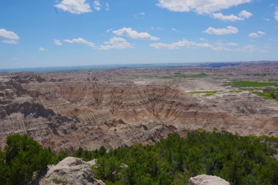
 And for the lake lovers, Horse Thief lake is just around the corner from the monument. Reminds me to count the number of lakes we've taken pictures of.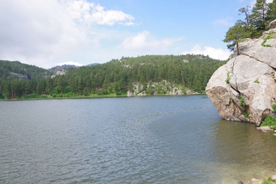
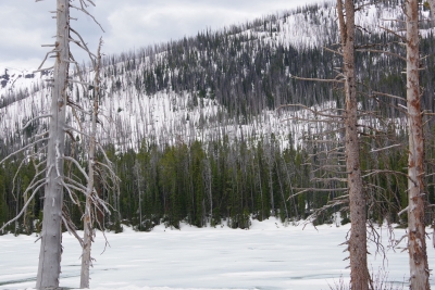 Sylvan Lake was still frozen over.